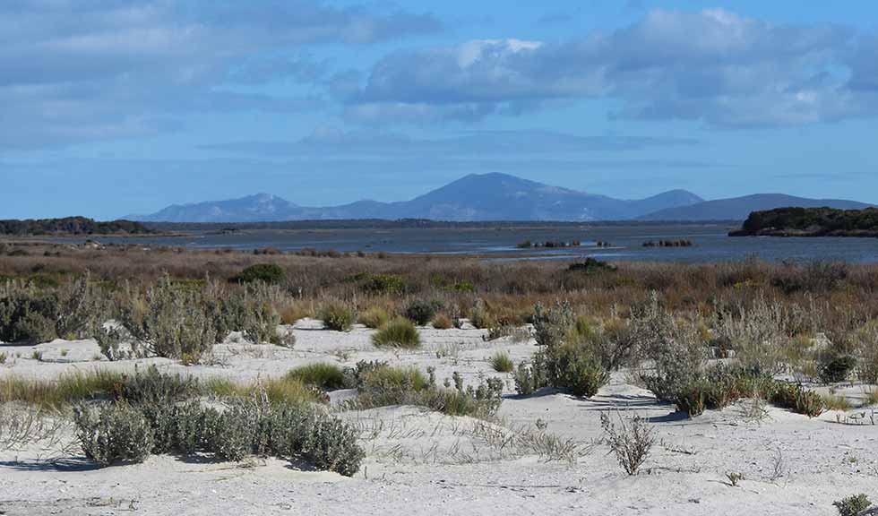
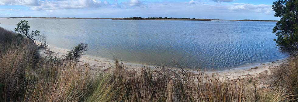
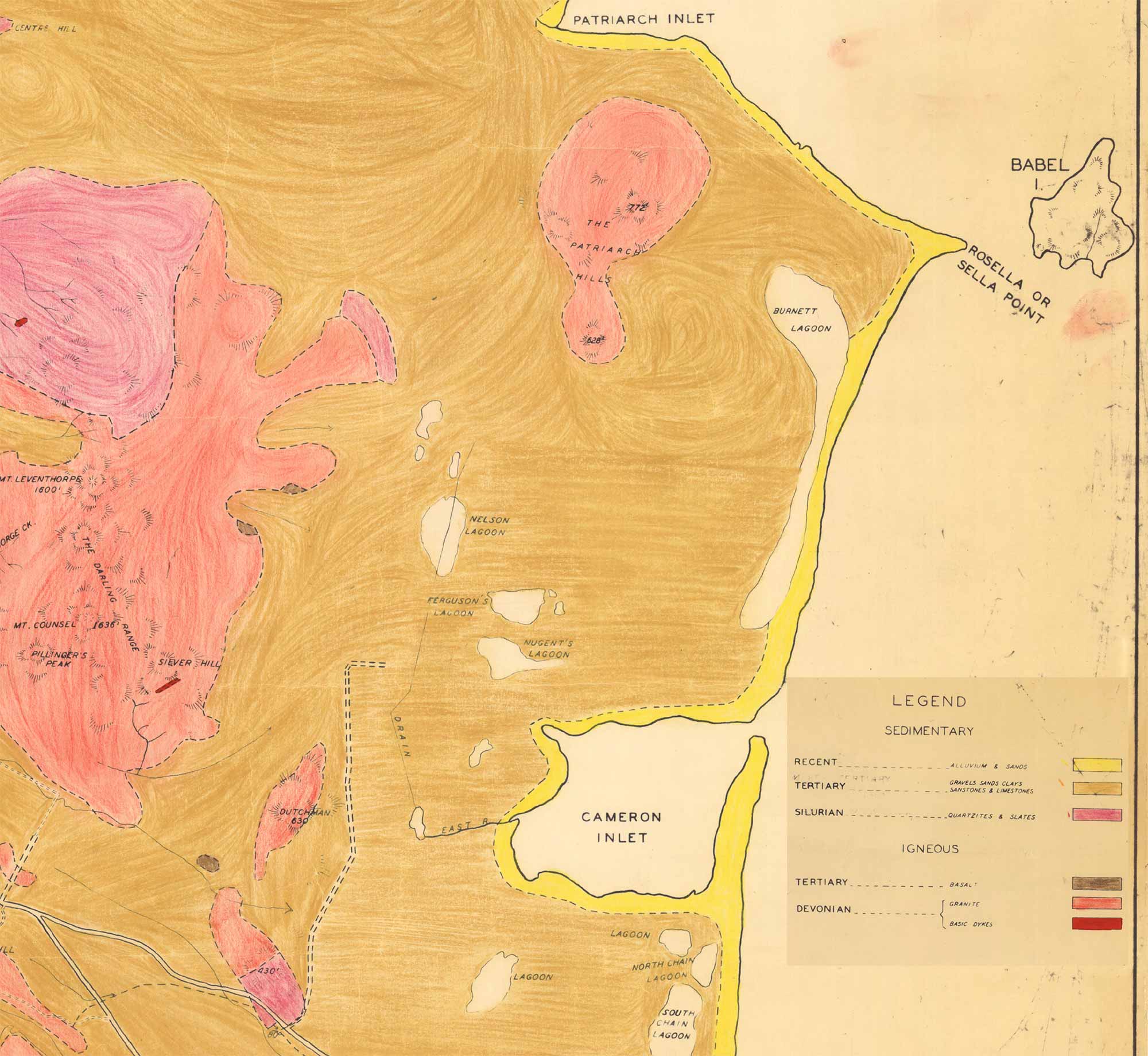
Coastal lagoons like Cameron Inlet have tended to come and go across the shallow flat areas of Flinders Island over the past 2.5 million years as sea levels fluctuated throughout the last ice age. Prior to this time sea levels were around 20m higher than they are today and this area was submerged as part of a shallow offshore marine environment.


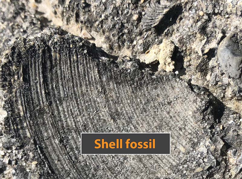
Cameron Inlet is best known today for the fossils that wash up on the beach shore after breaking off from a nearby offshore limestone reef.
These ancient relics help date the age of the limestone to around 4 million years ago. They remind us of the crucial role that plant and animal fossils play in dating rock layers back through distant geological ages.
Limestone origins
If you look out carefully on the drive into Camerons Inlet, you can see limestone boulders by the roadside.
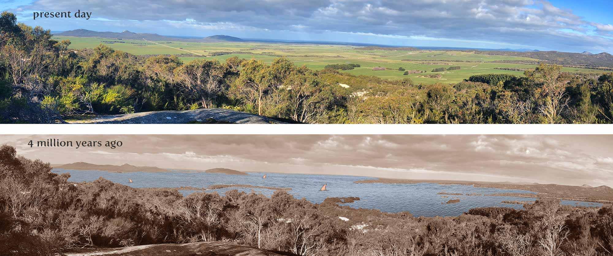
The flat area of land was an old sea bed several million years ago when sea levels were much higher than they are today.
Back then, 20 metres of water would have covered the road, and calcareous limestone deposits accumulated on the sea floor.
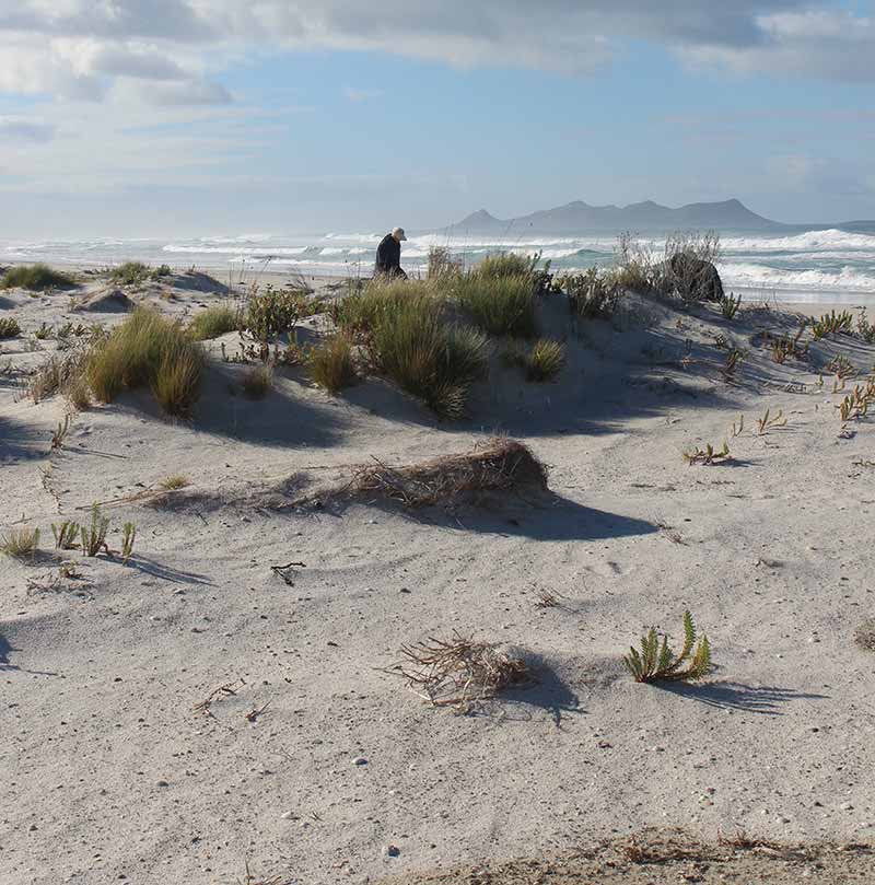
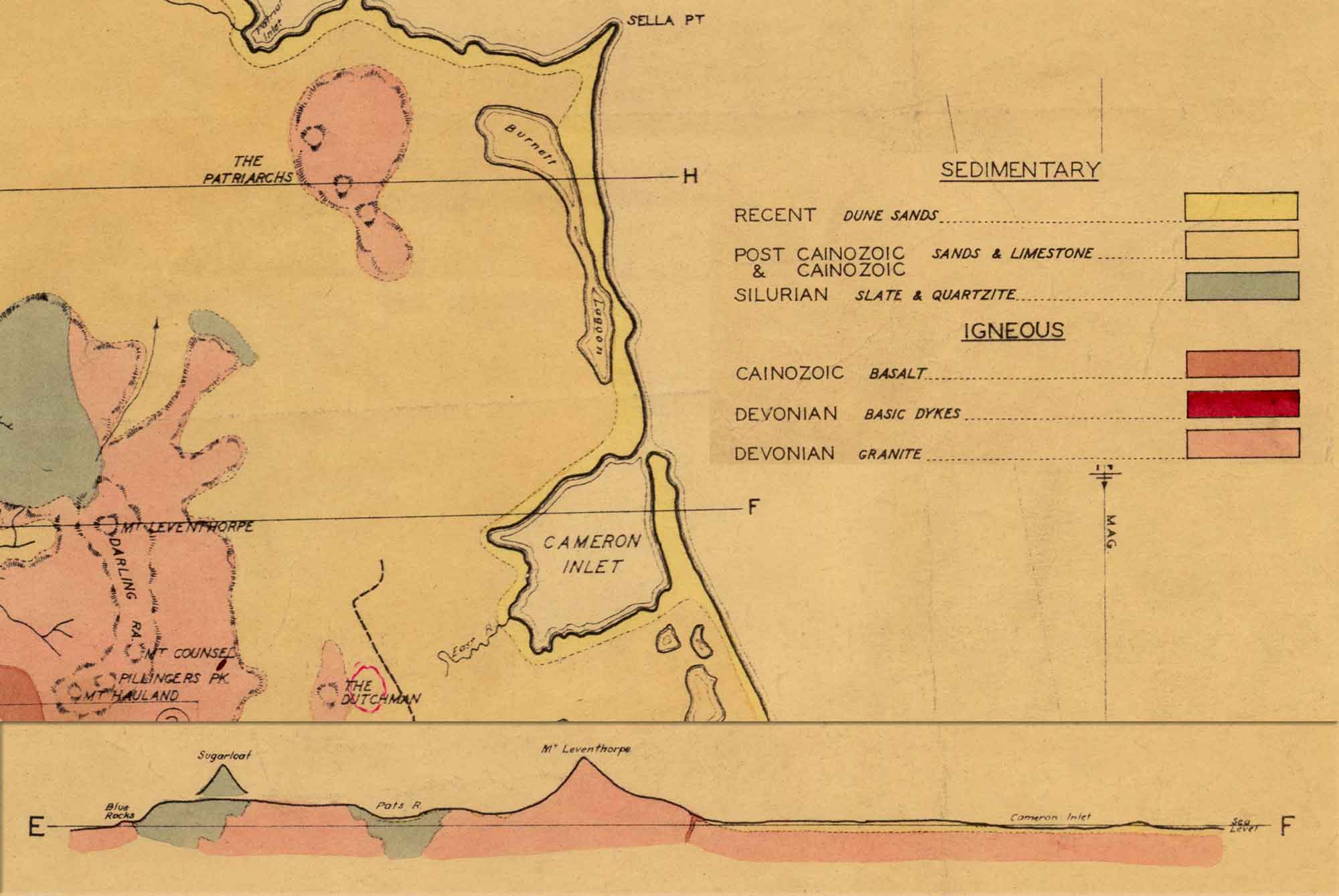
Today, these limestones are largely covered by recent sand dunes but they extend underneath Cameron Inlet and out to sea.
We can get a better idea of how things changed in this area by imagining how the present day view across to here from Furneaux Lookout would have looked 4 million years ago (below).
Fossil sharks teeth
A variety of fossils – including whale bones and shark teeth from a range of species – are routinely broken off from the offshore limestone reef during storms and wash up on the beach here in due course.
The Cameron Inlet area is one of a handful of places in Australia that fossil teeth from the ancient giant shark
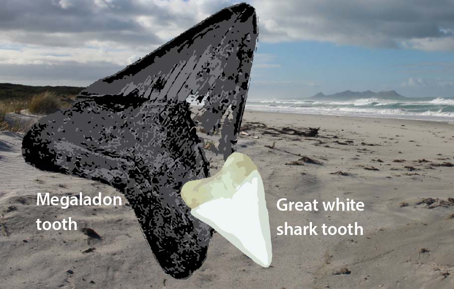
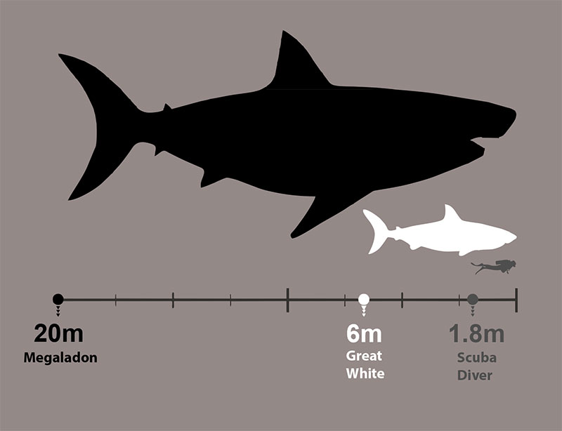
Its name literally means ‘big tooth’. With this giant shark growing to a length of 18 metres, it is one of the largest predators to have ever existed.
The species went extinct around 2.6 million years ago. The presence of this fossil here helps identify the age of the limestone.



In and around Cameron Inlet ...
As you drive along the road to Wingaroo you can see how flat it is. Part of the reason for this is that you are travelling over the old sea bed that would have existed there when the eastern part of Flinders Island was flooded by the sea in the lead up to the start of the last ice age around 2.5 million years ago.
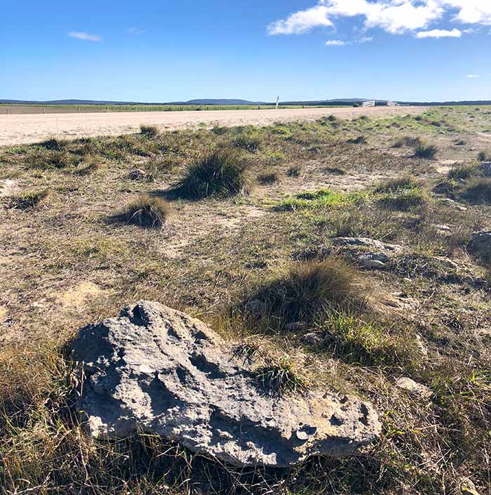
Alongside the road today you can see fossiliferous limestone deposits that result from accumulations of sand and shells on the floor of this shallow seabed.
At that time, the Patriarch Hills would have been similar to other offshore islands we see today.
When you're out at Camerons Inlet, the older marine limestones you drove across are still there under your feet - they're just covered by a thick layer of sand.
These limestones extend out into the ocean where a major feature is the offshore reef about 3km out from the shoreline.
When storms push up against the coast, the reef is broken up and ancient fossils of shark teeth, dolphin and whalebone contained within it are freed to wash up on the shoreline.
The most significant of these fossil remains to appear at Cameron Inlet are the teeth from a shark that is 3 times bigger than the great white shark - the megaladon.
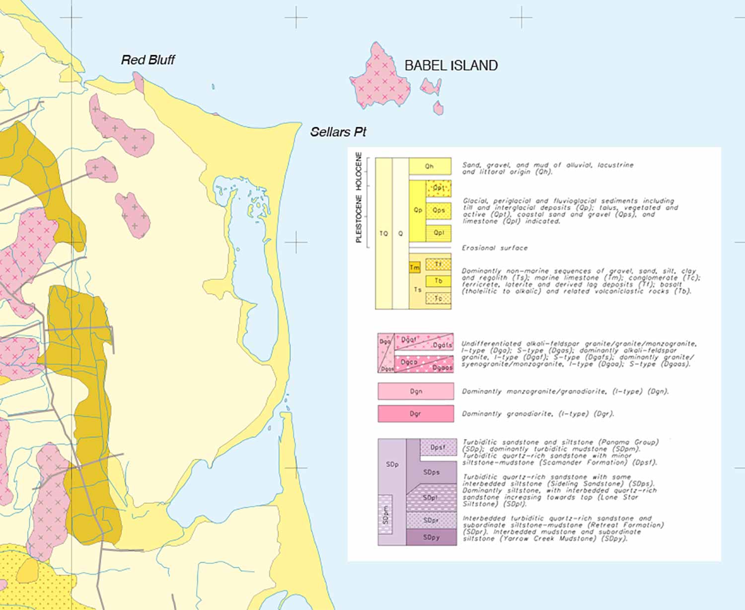
The first geological map of the precinct ...
The second geological map of the precinct and a transect diagram...
A modern geological map of the precinct ...
