
Follow the Furneaux Geotrail on your island travels and learn more about the stories written in the landscapes around you.
In an age before there were roads on Flinders Island, people used geological features as their main reference points.
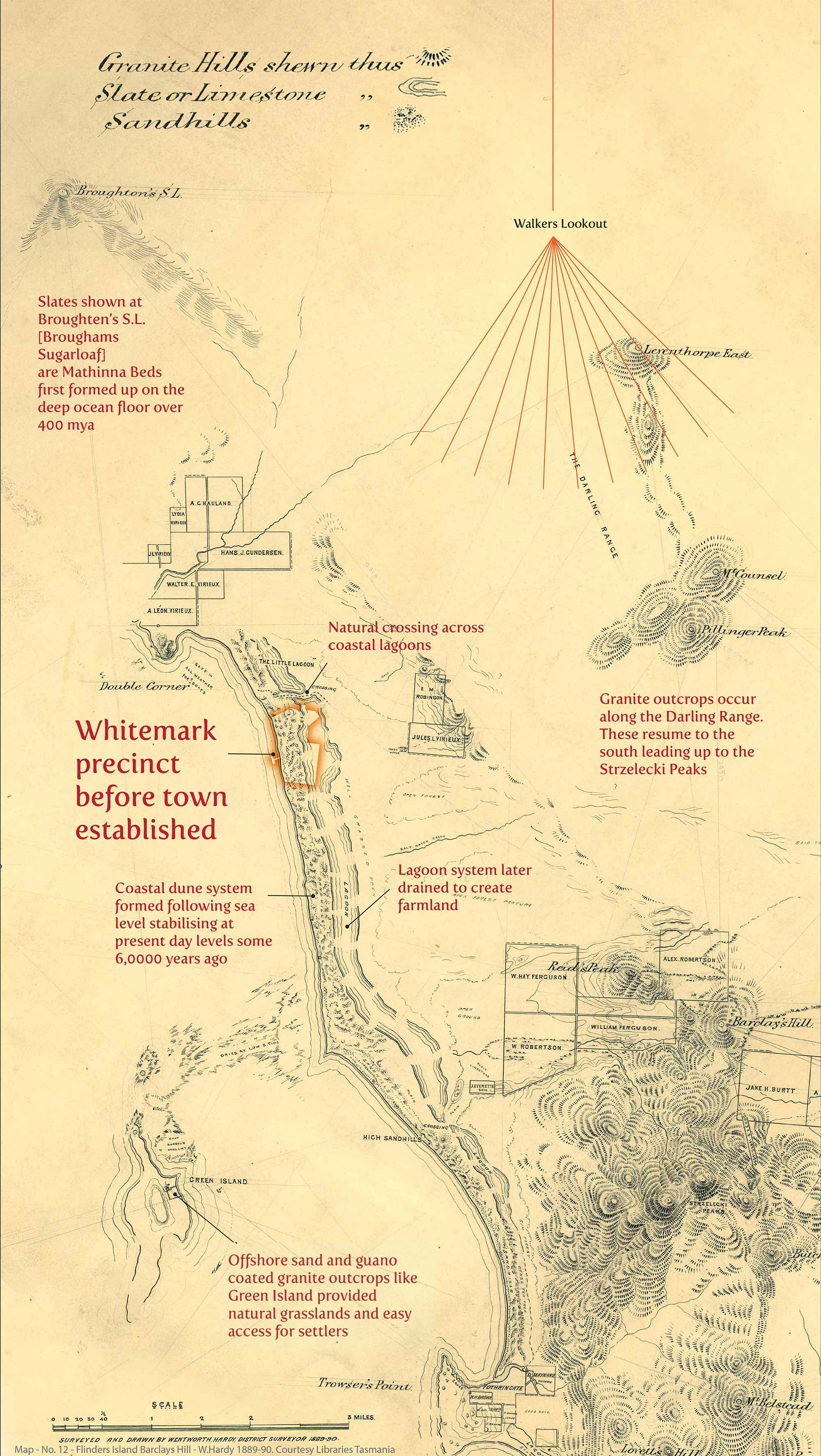
We can see this clearly in the maps and charts produced for this area across the 1800s. This 1890 survey map for example makes a point of distinguishing out the granite outcrops of the Darling Range from the slates (Mathinna Beds) that give the iconic Brougham Sugarloaf peak its distinctive shape.