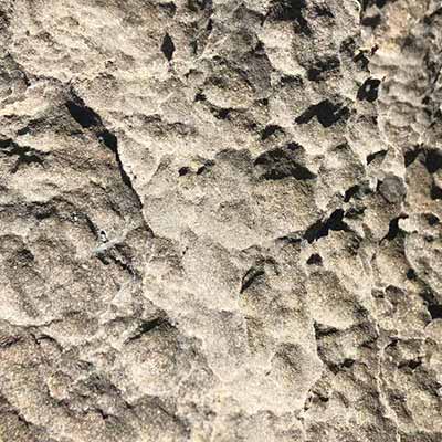
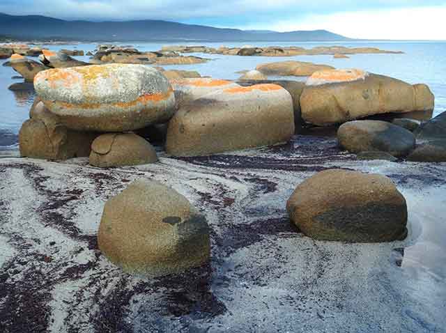
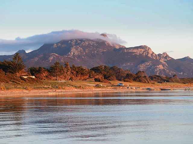
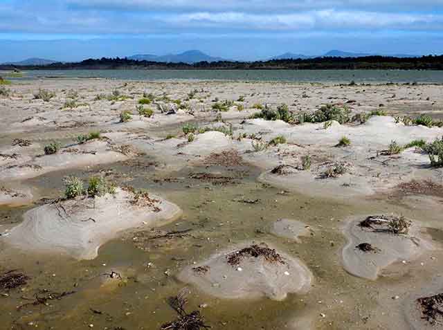
1. North East River
View the local coastal landscape shaped by sea and wind.
GEONOTES ...
2. Palana
Look to the north across the water and imagine a time when the ice age land bridge extended across to Victoria. Use the app to learn about the sand dunes behind the beach.
GEONOTES ...
3. The Dock
Follow the indistinct track, southwest from the lower carpark, along the scenic rocky shoreline beneath the impressive sculptured cliff of Mt Killiecrankie.
GEONOTES ...
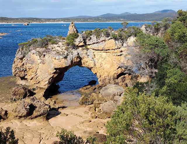
4. Stackys Bight
A spectacular arch developed in calcarenite. Stackys Bight can be accessed via the coastal walk from the Killiecrankie Geosite (3 hs return, 8 km).
GEONOTES ...
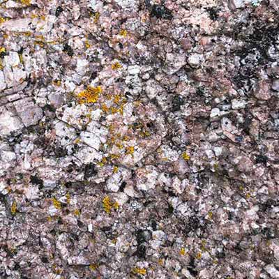
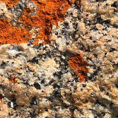
5. Killiecrankie
This Geosite features the local granite and source of the Killiecrankie diamonds [topaz].
GEONOTES ...
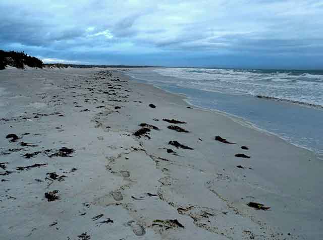
6. West End
Walk along the beautiful West End Beach or explore the granite coastline near the boat ramp. The more adventurous should visit the nearby spectacular Egg Beach (4 km return along rocky coast to northwest, 1-2 hr).
GEONOTES ...
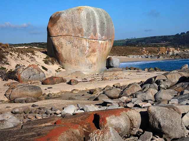
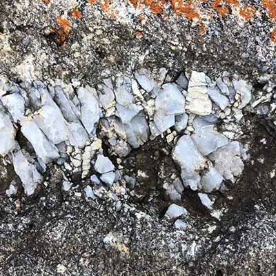
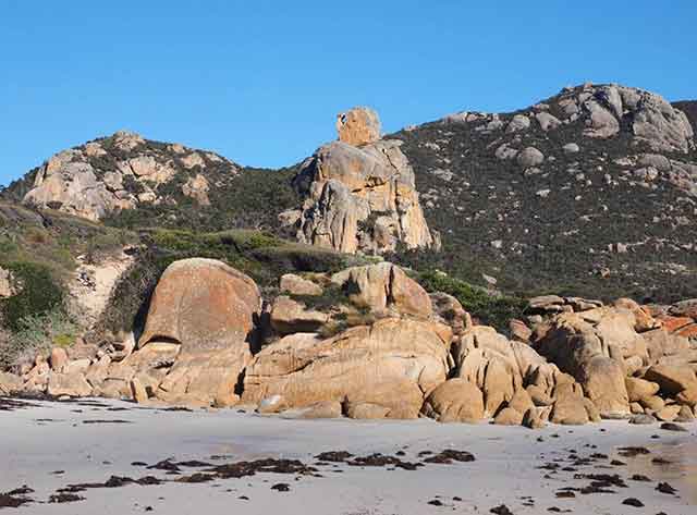
7. Castle Rock
A spectacular tor developed on 400 million year old granodiorite. One of the iconic landforms on Flinders Island.
GEONOTES ...
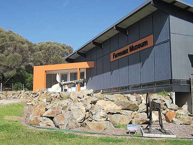
8. Furneaux Museum
... houses a collection of the common rocks and fossils found along the GeoTrail. Check the Furneaux Museum website or the recorded message on 6359 8434 for opening times.
GEONOTES ...
9. Allports Beach
Toilet and picnic facilities make this the perfect spot for lunch. Explore the beach or take one of Tasmania’s 60 Great Short Walks to visit Castle Rock.
GEONOTES ...
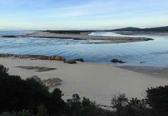
10. Settlement Point
The old wharf at Settlement Point provides excellent views of Marshall Bay and Cave Beach.
GEONOTES ...
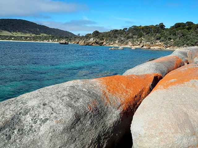
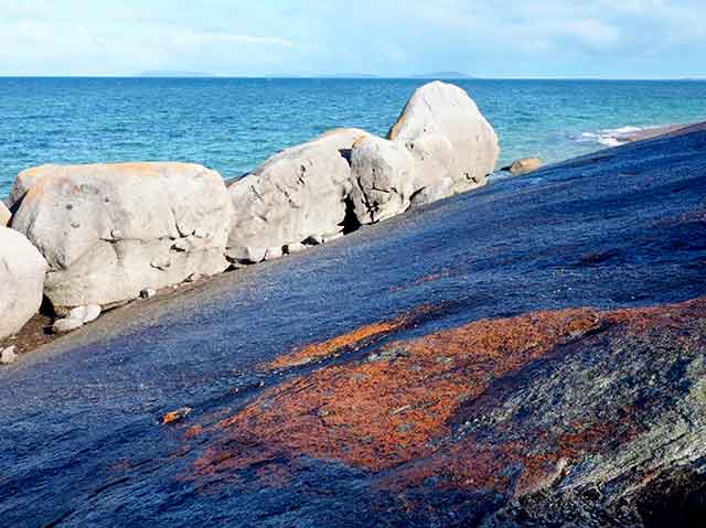
11. Sawyers Bay
Classic Flinders Island granite coastal scenery with striking views south across the sheltered waters of Arthurs Bay and beyond.
GEONOTES ...
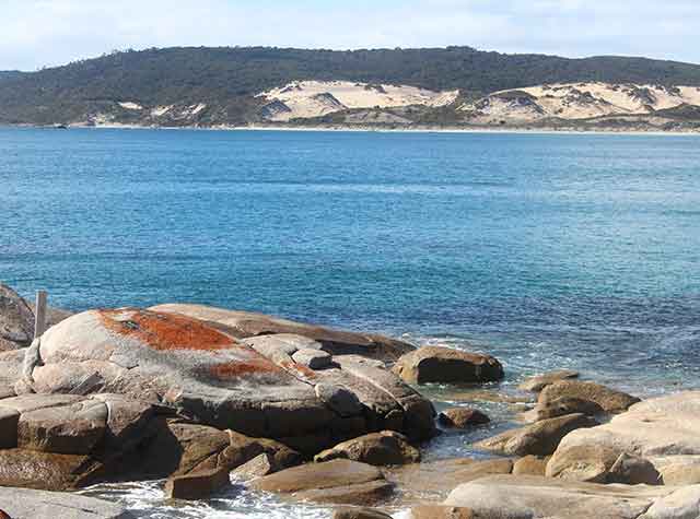
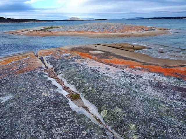
12. Blue Rocks
Scenic slabs of exfoliating granodiorite can be accessed via Long Point Beach (best at low tide) or via a short unmarked track off the Palana Road approximately 10 kilometres north of Whitemark.
GEONOTES ...
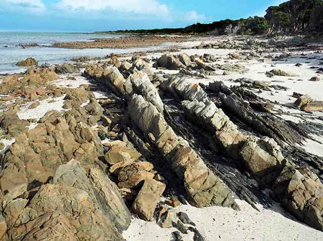
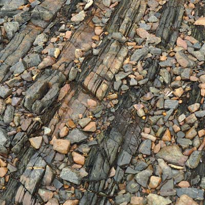
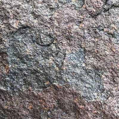
13. Long Point
Outcrops of Mathinna Beds can be reached via a short walk along Long Point Beach (best at low tide).
GEONOTES ...
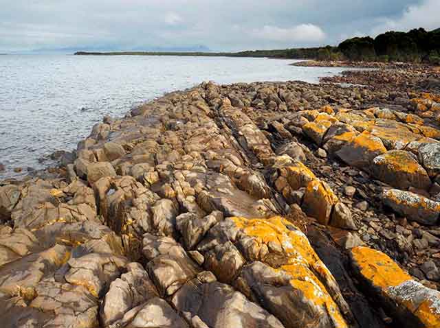
14. The Bluff
Walk from the Whitemark Wharf, or drive to the end of Bluff Road. Great views and a unique sand spit. Go past the rocky headland (Mathinna Beds), to see the delta forming at the mouth of Pats River.
GEONOTES ...
15. Whitemark
An interpretation sign outlines all the geological sites you can visit – travelling through millions of years, seeing the forces that have shaped the landscape.
GEONOTES ...
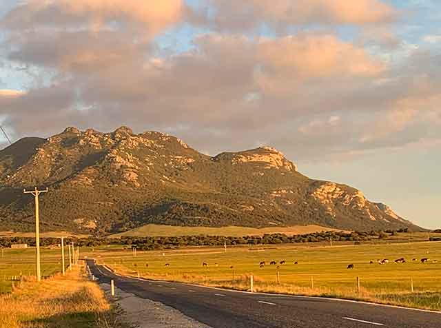
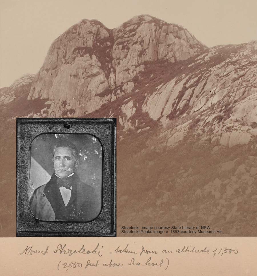
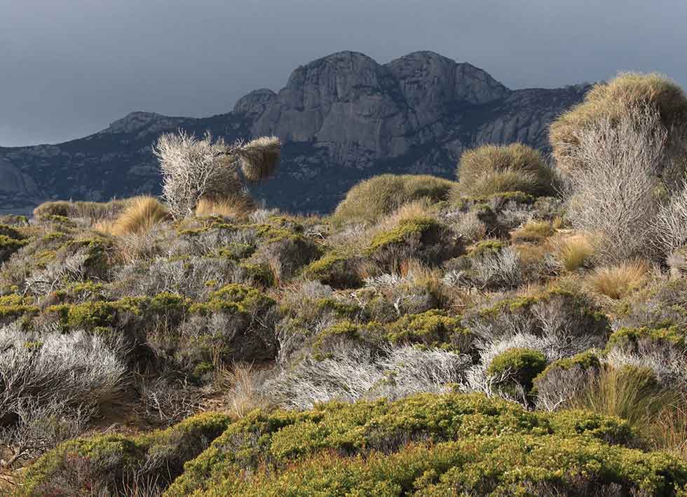
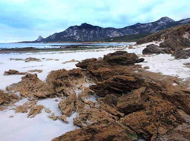
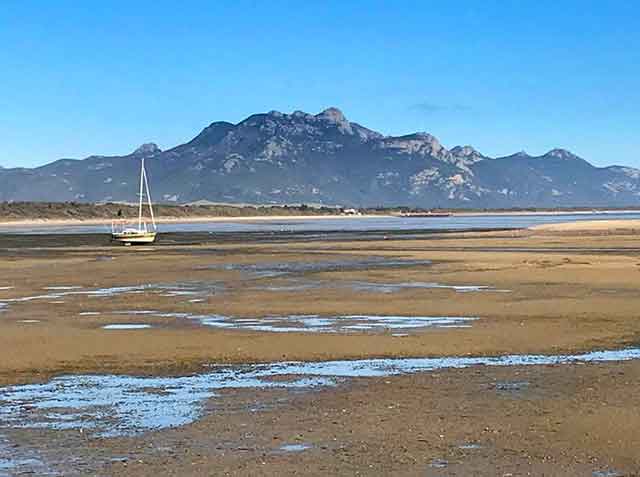
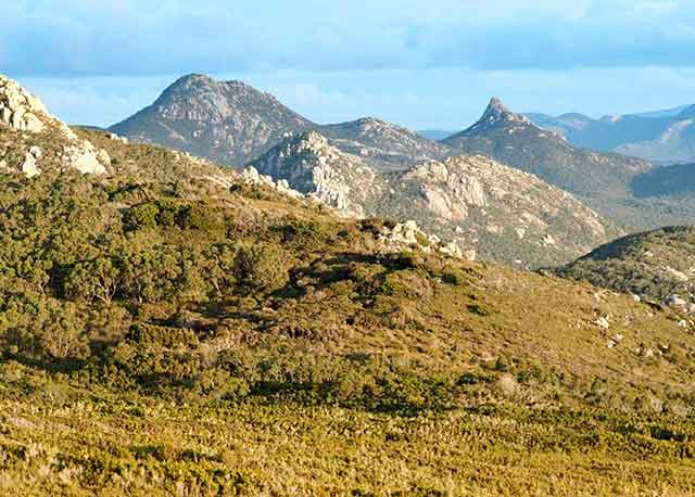
16. Strzelecki Peaks
One of Tasmania’s 60 Great Walks highlighting the importance of the 380-400 million year old Devonian granite to the region.
GEONOTES ...
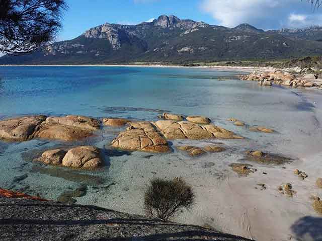
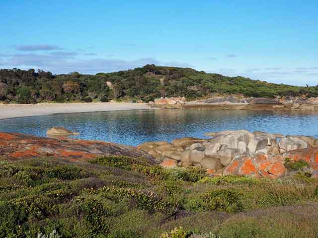
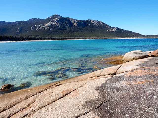
17. Fotheringate Bay
Fotheringate Bay offers a great view of nearby Strzelecki Peaks. Karst features have developed in the calcarenite at the west end of the beach.
GEONOTES ...
18. Trousers Point
Another of Tasmania’s 60 Great Walks, includes local granite outcrops, interesting limestone features and scenic views. This track provides an easy link with the Fotheringate Bay Geosite.
GEONOTES ...
19. Badger Corner
The Mathinna Beds, some of the oldest rocks on the island, are best seen here at low tide.
GEONOTES ...
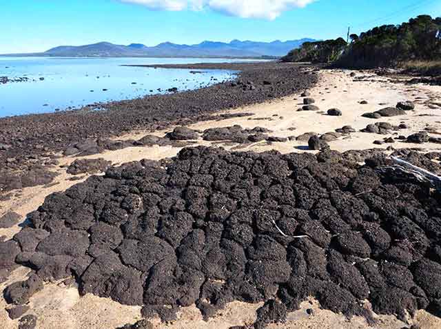
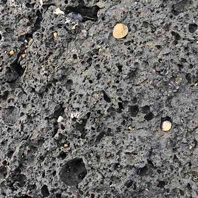
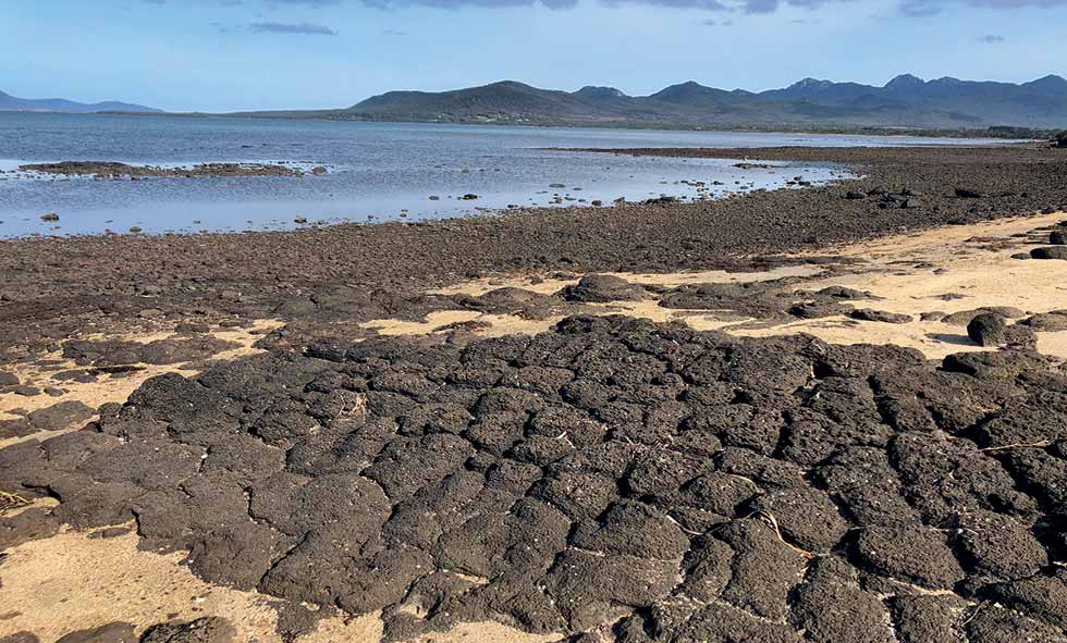
20.Petrifaction Bay
Basalt boulders and lava features tell an intriguing part of the island’s geohistory.
GEONOTES ...
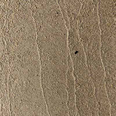
21.Yellow Beaches
Walk along the beach to see sedimentary rock layers that were deposited between 10,000 and 100,000 years ago and local granite outcrops.
GEONOTES ...
22. Vinegar Hill
A wonderful vantage point looking out over Franklin Sound to the islands.
GEONOTES ...
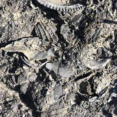
23. Cameron Inlet
Walk out onto the beach to look for giant megalodon shark teeth.
GEONOTES ...
24. Patriarch Inlet
Explore the beach or visit Red Bluff (2-3 hr return, 7km).
GEONOTES ...
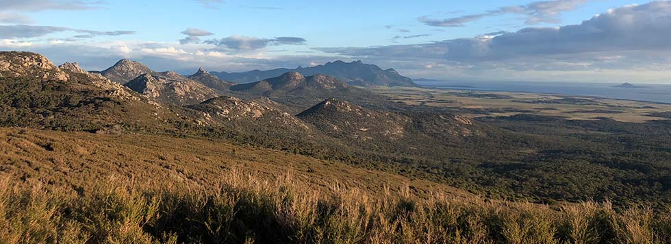
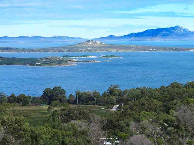
25. Furneaux Lookout
Both this and Walkers lookouts provide panoramic views over much of Flinders Island.
GEONOTES

26. Walkers Lookout
GEONOTES